Pages That Mention N.P.R.R. Co.
5802_12_1_6_001
5802_12_1_6_001_Page_4
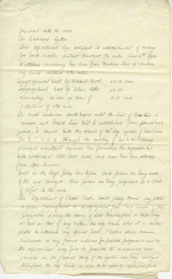
forwarded with the order The Boulevard System This department had continued its establishment of leveling for bench marks, distance traversed 7&1/2 miles. June 16th began to establish meandering base line from Madison Street to southwestern City Limits distance 4&9tenths miles. Topographical Work by Transit work 25.32 acres Topographical Work by plane table 56.64 acres representing an area in acres of 81.96 aud a distance of 2&31hundredths miles. The work continues Southward until the limit of base line is reached, and branch lines will be established from practicable points to connect with the interior of the city System of Bouevards. The N.P.R.R. Co. through the courtesy of Hon E H McHenry principal assistant engineer has furnished the department with additional lake shore data, and now has been collected from other sources. Work on the large plan has begun and plans are being made of this area surveyed, these plans are being prepared on a scale of 50 ft to the inch. The Department of Public Parks would gladly receive any plats or plans geographical or topographical from land owners of their properties along the shores of Lake Washington or Elliot Bay as well as that any within the city limits Where it is Contues plated to establish any special park, Parked Streets, avenues Boulevards or any ground intended for public purpose or use as the department may find it possible to incorporate such grounds in the general study of the system now being developed throughout the city limits, as also to be able to represent such